Trimble Connect

- Publisher: Trimble Inc.
- Genre: Productivity
- Released: 28 Oct, 2013
- Size: 21.0 MB
- Price: FREE!
 Click here to request a review of this app
- App Store Info
Description
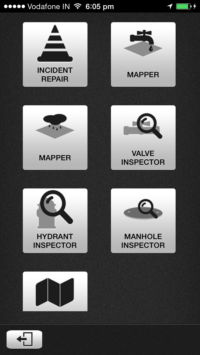
Trimble® ConnectTM is a cloud-based, Geographic Information System (GIS)-centric software that includes a suite of applications allowing water, wastewater and stormwater utilities to visualize and manage their network maintenance and data collection activities.Trimble ConnectTM software leverages Trimble’s GNSS and Esri’s GIS technologies to map, locate and assess the condition of critical infrastructure assets, enabling utilities to keep their field infrastructure data up-to-date and accurate. Offered as a software-as-a-service (SaaS) subscription, the solution allows users to monitor asset operating conditions, manage leak repairs, reduce non-revenue water, deploy and inspect smart meters, lower potential threats to safety and health due to contamination and adhere to regulators’ reporting guidelines and requirements.
• GIS-centric solution, enabling water utility personnel to bring GIS and asset information out to the field
• Eliminates error prone paper and manual data entry
• Operates online and offline with full access to asset data
• Provides intelligent data collection forms and workflows using business rules, default values and conditional attributes
• Captures photos and GPS positions
• Allows for viewing and tracking work progress from the work list and map
• Includes configurable street, topo and aerial basemaps
----------------------------------
Note: Trimble ConnectTM is designed for your iPhone device. Continued use of GPS running in the background can dramatically decrease battery life.
What's New in Version 1.8.1
Key features and capabilities available in this release include:• Addition of support for iOS 8.
• Added validation of work order status based on asset status.
• Added field specific business rules.
• Improvement on identified asset selection and highlighting on the map.
• Improved performance of attachment synchronisation.
• Improved performance of map interactions.
• When digitizing polyline and polygon geometries, the digitize button now indicates the geometry type.
• A collection of bug fixes.


