Metro Paris Maps

- Publisher: traces2
- Genre: Navigation
- Released: 15 May, 2012
- Size: 11.9 MB
- Price: $0.99
 Click here to request a review of this app
- App Store Info
Description
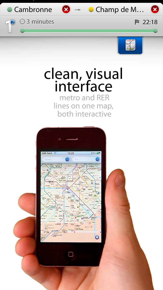
• the only completely interactive metro app on appstore. you will be astonished how easy and simply user interface can be!• see your Current Location + major sights (like Eifel tower) right on the map
• both Charles de Gaulle and Orly airports also on the map
• not only all metro lines but also RER (suburban train) on the map, the only app that has this feature
• get an estimation of your journey time and even find out which carriage to sit in to avoid lengthy walks to the other end of the platform.
• exits on all metro transfer stations
• iPhone 5 and iPad 3 ready, also full support of "old" 3GS
MAY BE UNSTABLE UNDER IPOD4 - WE ARE FIXING IT!!!
• easy step-by-step directions mean you always know the fastest route. directions always work offline underground!
****
some of latest reviews for 1.5
Best metro map app - I love how this app shows the times for each station and where to get on and off. Great app!
Paris.Metro - Brilliant application, gave up with the paper plans after day 1 and used this app from then onwards.
Fantastic - Excellent app, essential purchase. Gps even works without a data connection, so it will keep you located on holiday.
What's New in Version 1.6
ios7 readynew stations as of fall 2013


 $0.99
$0.99


